Arvanitis Insights
Interactive Athens
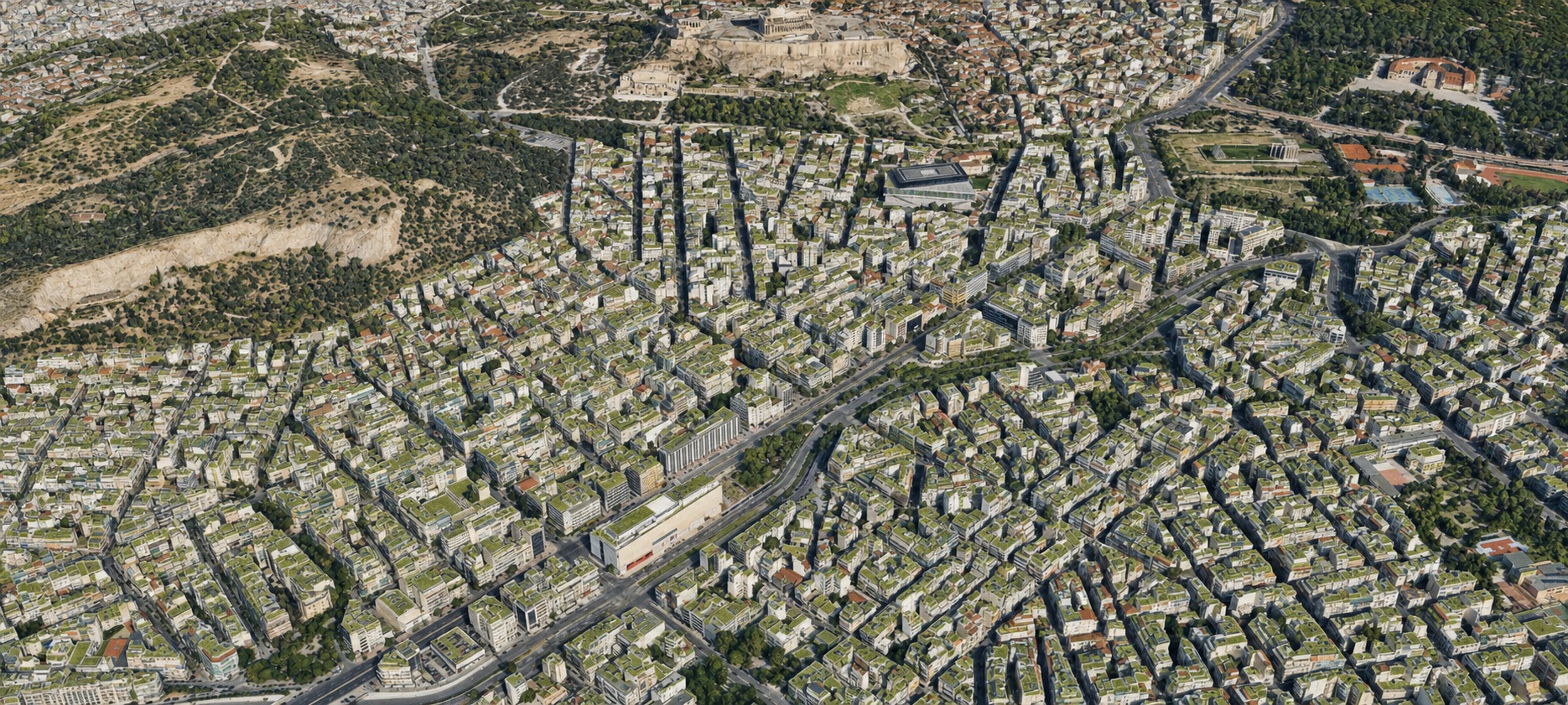
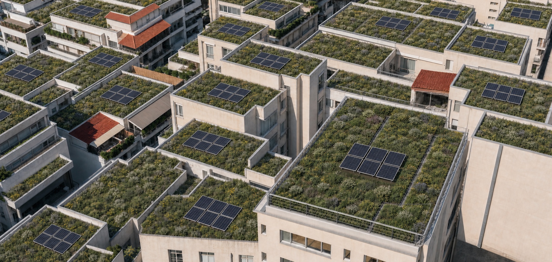
Aerial concept showing green roofs across central Athens Photorealistic Athens neighborhood with lightweight planted rooftops and compact six-panel solar arrays
Drawing Athens from 13,007 building footprints
01 The existing roofscape
Roof conversion 100%

Interactive proposal

Athens has a second city above it.

More than shelter, the roof can become a distributed system for cooling, water, energy, and daily life.

By Athanasios Arvanitis Interactive field note

01 · The exposed surface

Concrete stores the afternoon.

From above, central Athens is a field of pale slabs, fragmented collectors, tanks, antennas, and inaccessible space. During severe heat, thermal cameras have recorded some Attica rooftops reaching 75°C.

Source · Kathimerini thermal report
Illustrative surface heat
LowerHigher

02 · One roof, three systems

Replace rooftop clutter with one working layer.

01Six compact panels on one low tracking hub
02Soilless planting over recirculating drainage
03On-demand hot water inside the service core

03 · An occupied roof

Infrastructure becomes part of daily life.

The garden is not deep soil and it is not a decorative lawn. Lightweight growing cassettes, inspection channels, and controlled circulation create a productive surface people can safely maintain and inhabit.

04 · The roof network

A prototype becomes a city system.

Not every roof receives the same treatment. Viable flat roofs turn green; constrained buildings stay reflective; protected forms remain intact. The result is a mosaic, not a monoculture.

05 · Explore the proposal

Change the roofscape yourself.

Move between the existing and converted city, then drag the model to inspect the network from another angle.

Field note / 01

What this model is testing

Athens Breathes is an argument about coordination: assess every roof, classify what it can support, and replace fragmented equipment with maintainable building systems.

Real geography

The browser scene is generated from OpenStreetMap building and street geometry within 1.5 kilometres of central Athens.

Illustrative conversion

Eligibility, planting, energy hubs, and equipment removal are conceptual. Every real installation would require structural, wind, fire, water, and ownership analysis.

Browser rendered

No video or cloud-rendered frames are used. The city, camera, residents, and transition are rendered live on the reader’s device.

Concept visualization, not an engineering specification or investment projection.